Our technology allows you to set urban or local airspace boundaries above objects, protecting the rights of owners and recording any violations
We are a startup
We develop and sell technologies for airspace marking


- a digital twin of a city for $ 1 per 1 cubic km (we make it cheaper);
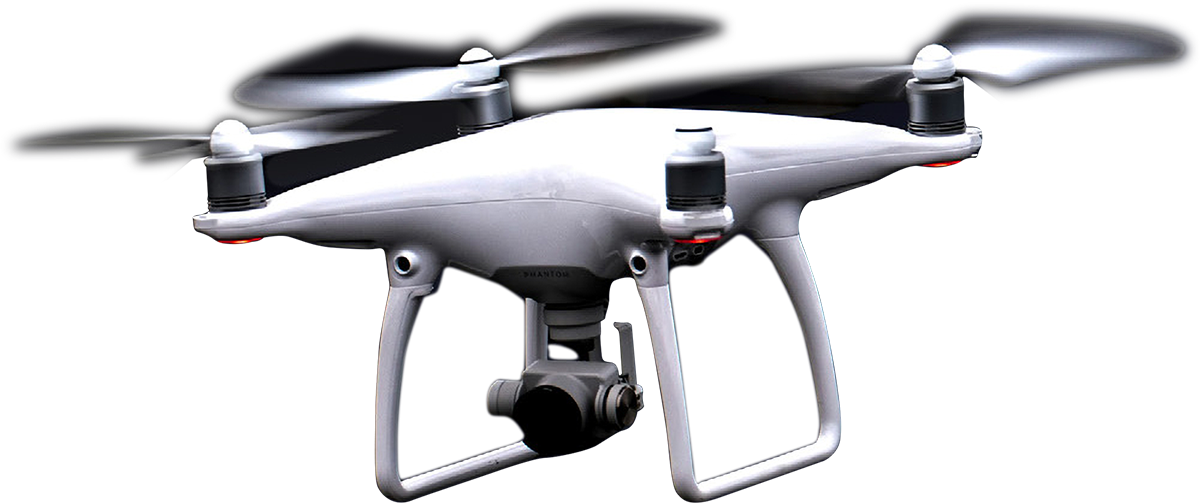
- airways in a metropolis for drones (pilot);
- airfields for agricultural drones;
- smart control of city services;
- replacement of GPS navigation: Geopixel is cheaper than satellites, has more data and is more accurate.


Accuracy 0.5 mm
Examples of airspace marking (our cases):

We can literally trace the growth of a flower
We would be grateful for the opportunity to discuss our proposal!
We are the winner of prestigious competitions and are among the top 10 best BRICS and MENA projects.
We strive to enter new markets and ask you to consider the possibility of assistance in this direction.
We strive to enter new markets and ask you to consider the possibility of assistance in this direction.
Please enter your email, so we can provide more details: